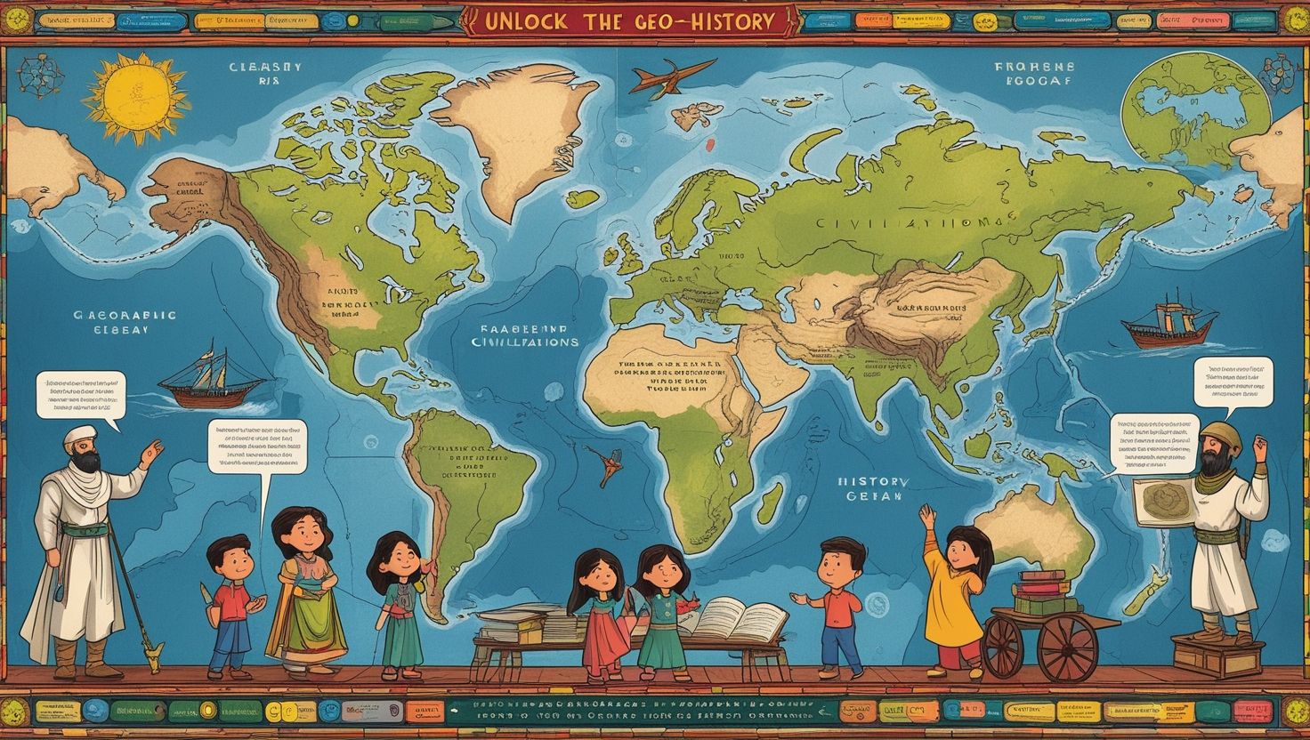
Introduction
How to Teach Geo-History in Classroom, Teaching geo-history in classrooms combines geography and history to help students see the relationship between human actions and the physical world. Teachers must show how historical events are shaped by landscapes, climate, and resources. For example, civilizations often developed near rivers or fertile lands. This connection helps students understand history in a more meaningful way. Additionally, teaching geo-history creates links between past events and present realities. Students can analyze how trade routes, wars, and cultural exchanges were influenced by geography.
Moreover, teachers must make lessons interactive by using maps, charts, and visuals. They should also guide students to think critically about the reasons behind historical developments. Furthermore, integrating geo-history makes students better problem solvers as they compare past decisions with modern challenges. In this way, classrooms become spaces for exploration, where history is no longer memorized but understood in depth. Thus, teaching geo-history in classrooms builds analytical skills and fosters a deeper awareness of the world.
Importance of Geo-History in Learning
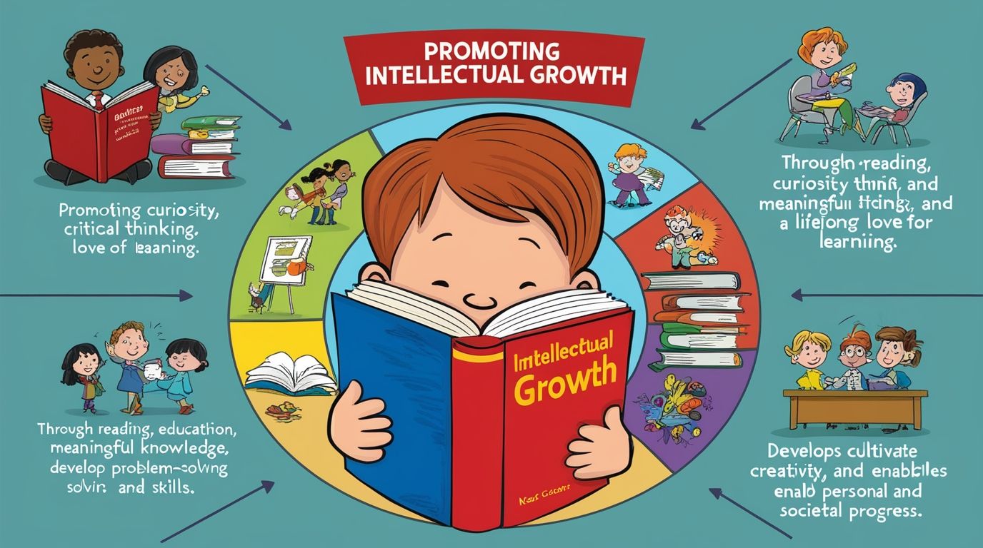
The importance of geo-history in learning lies in its ability to merge two powerful subjects. Geography explains the environment, while history narrates human stories. Together, they provide a complete understanding of the past and present. For instance, students can examine how mountains protected civilizations or how rivers encouraged trade. These insights reveal that history is not isolated but deeply connected to the physical world. Additionally, geo-history supports critical thinking, as learners analyze how geography influenced political boundaries, wars, and migration.
Teachers can use examples from world history, such as the Silk Road or the discovery of sea routes, to explain these connections. Moreover, this method improves memory retention because students visualize historical events on maps and landscapes. Transitionally, it also strengthens problem-solving abilities by teaching learners to connect causes and effects. In schools, this approach encourages curiosity and makes lessons more engaging. Therefore, geo-history in learning is essential to shaping well-rounded individuals with global perspectives.
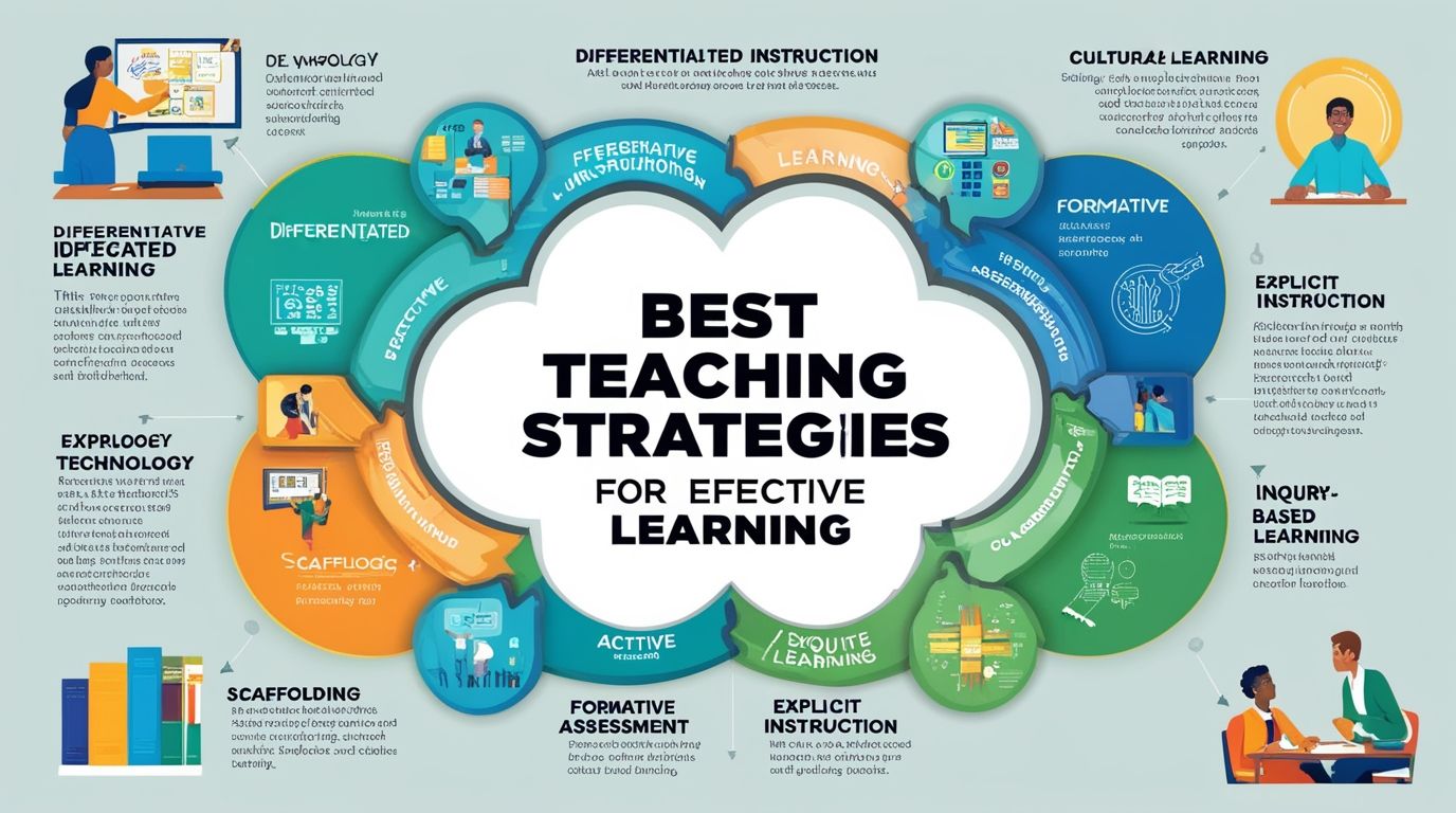
Effective Teaching Strategies for Geo-History
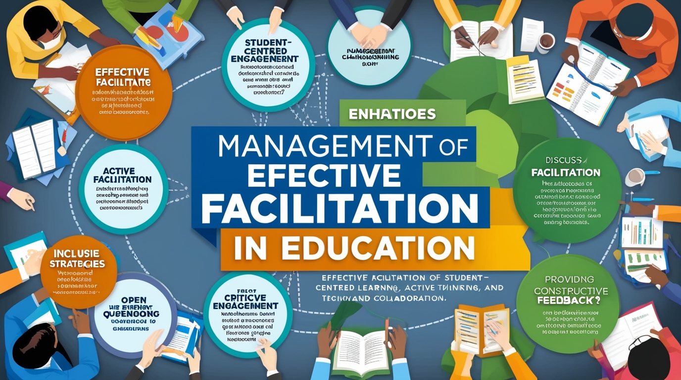
To teach geo-history in classrooms, teachers must apply strategies that encourage interaction and discovery. One effective approach is storytelling with maps. By narrating history while pointing to geographical features, teachers make lessons come alive. Additionally, project-based learning is powerful. Students can create models of ancient civilizations, analyze trade routes, or study the impact of climate on historical events. Furthermore, using technology such as interactive maps, virtual reality tours, or online simulations allows students to explore places they cannot visit physically.
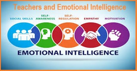
Teachers should also integrate inquiry-based learning by asking guiding questions like, “Why was Egypt successful along the Nile?” This method encourages deeper analysis and critical reasoning. Moreover, role plays and debates about historical events shaped by geography help students connect emotionally to the subject. Teachers should ensure that lessons remain student-centered, allowing learners to explore and reflect. Overall, effective strategies make geo-history in classrooms both educational and enjoyable.
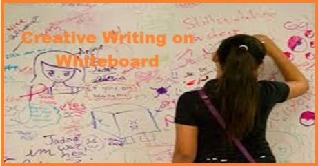
Role of Maps and Visual Tools in Teaching Geo-History
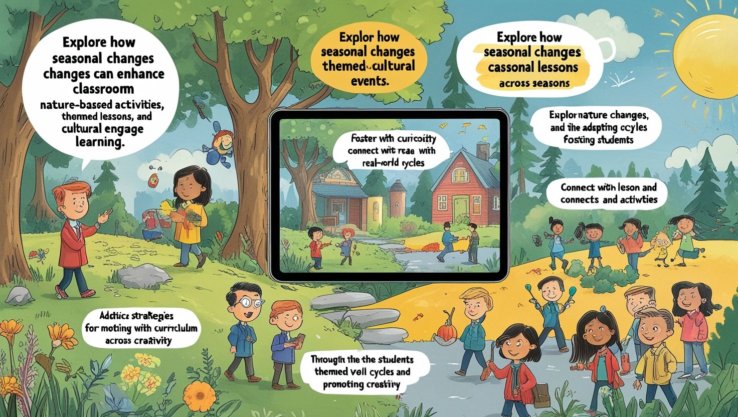
Maps and visuals play a central role in teaching geo-history in classrooms because they help learners connect space and time. Historical maps, for instance, show shifting borders, trade routes, and areas of conflict. These visuals allow students to see the impact of geography on events like colonization or exploration. Additionally, teachers can use thematic maps to explain population growth, agricultural patterns, or climate changes across history. Charts, diagrams, and digital atlases also enhance understanding by simplifying complex information.
Furthermore, technology-based tools such as Google Earth or interactive whiteboards give students real-time access to geographical features. Visual storytelling, with timelines paired with maps, also makes learning engaging and memorable. Transitionally, visuals serve as anchors for memory, helping learners recall details faster. Teachers should encourage students to create their own maps, which promotes creativity and deep learning. Thus, the use of maps and visual tools in geo-history teaching enhances comprehension and builds strong analytical skills.
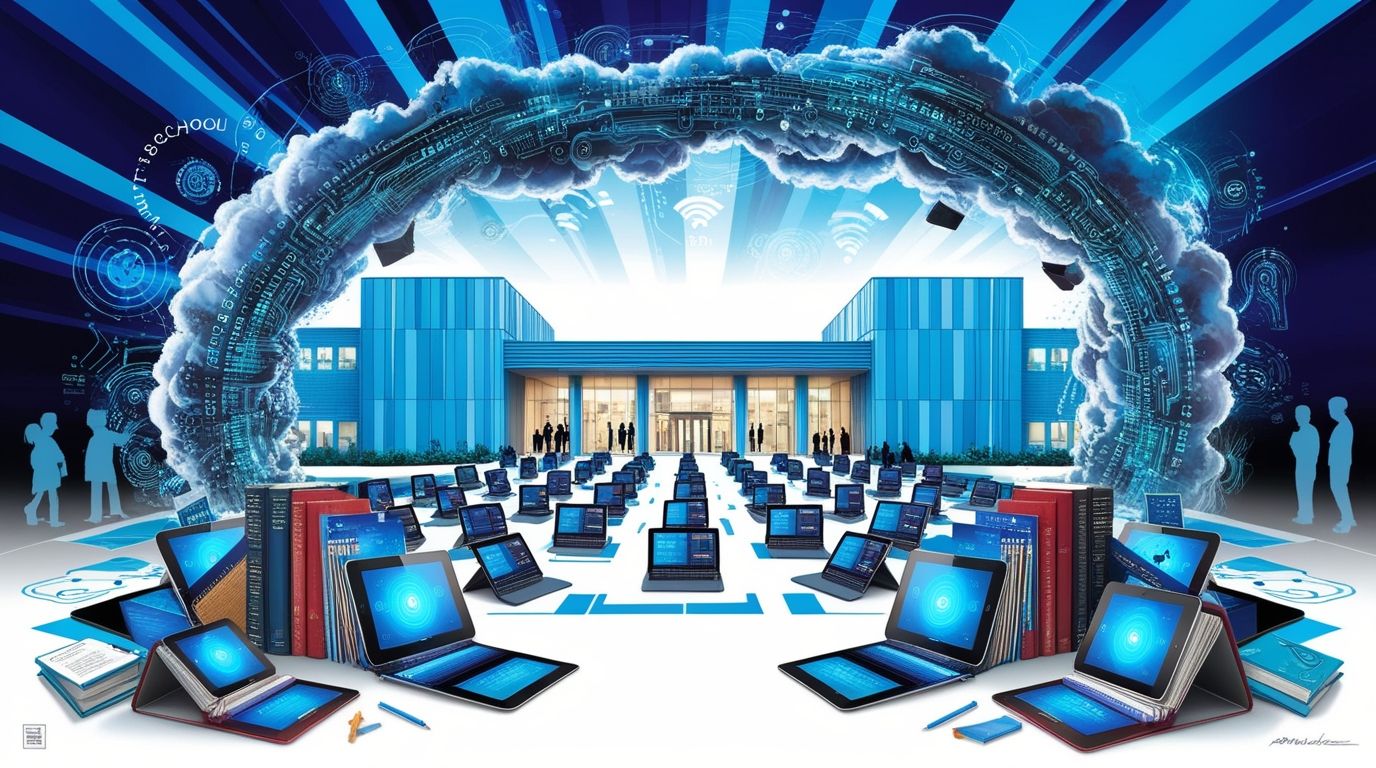
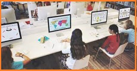
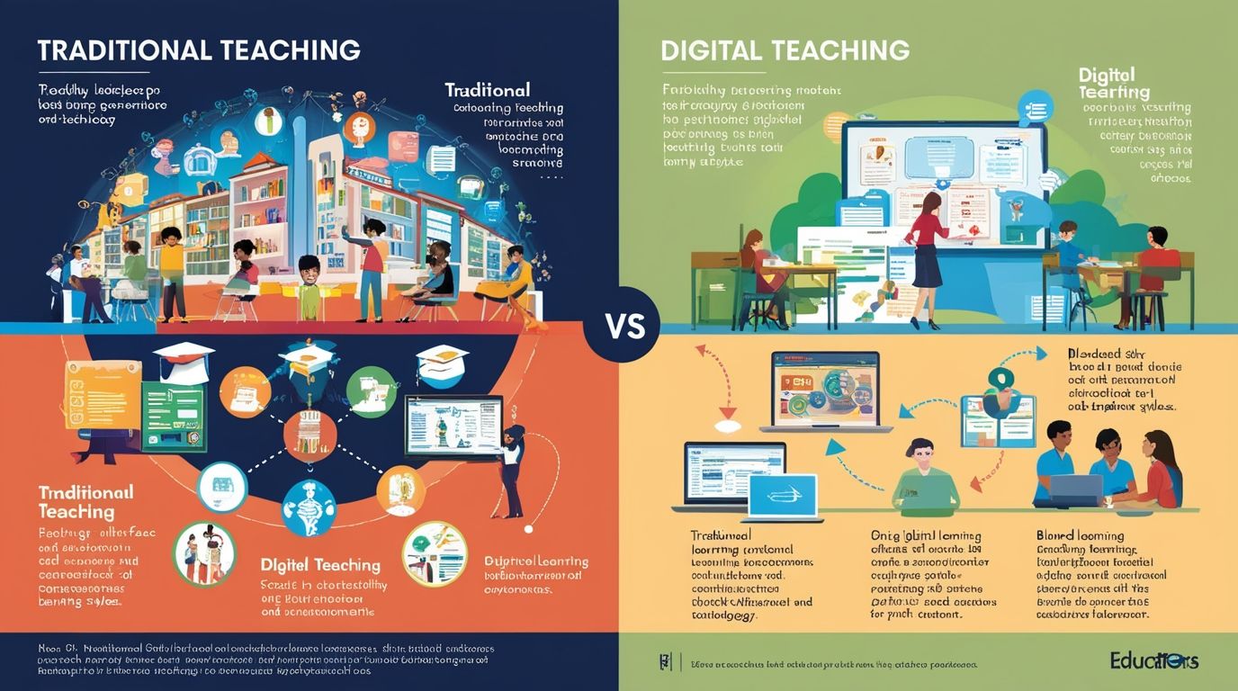
Integrating Technology in Geo-History Classrooms
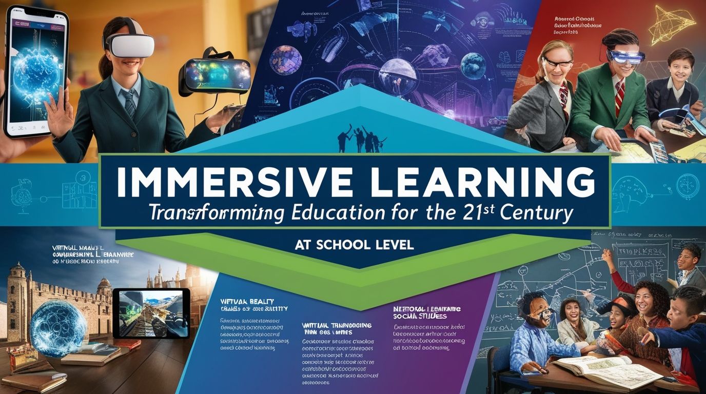
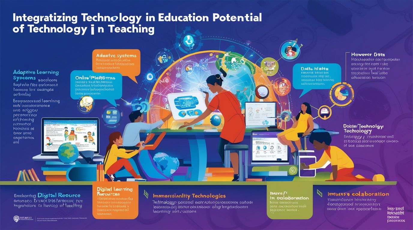
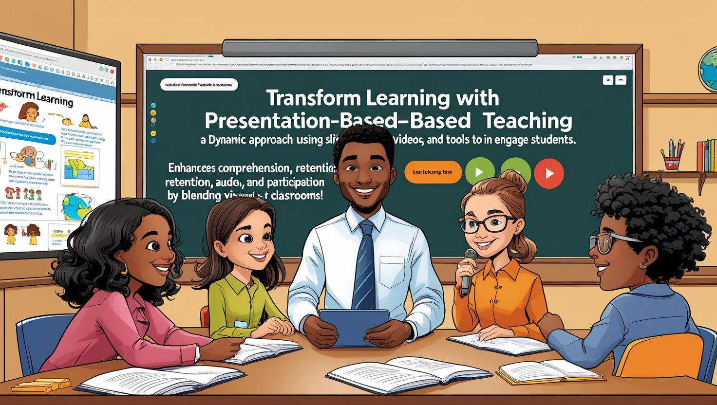
Technology has transformed how geo-history is taught in classrooms by creating interactive and immersive experiences. Digital platforms provide 3D maps, animations, and simulations that explain historical changes effectively. For example, a student can visualize how empires expanded or how climate shifts altered civilizations. Virtual reality and augmented reality take students on virtual field trips, allowing them to explore ancient sites. Moreover, online archives and databases make historical sources easily accessible.
Teachers can assign projects where students compare satellite imagery with historical maps. Additionally, gamified learning tools engage students through quizzes and challenges based on geography and history. Transitionally, technology supports differentiated learning, as visual and auditory resources cater to different learning styles. It also promotes collaboration when students work together on digital projects. Importantly, teachers must guide students to use these tools responsibly and critically. Therefore, integrating technology in geo-history classrooms makes lessons dynamic, memorable, and highly engaging.
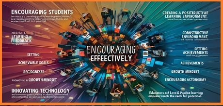
Engaging Students through Practical Activities
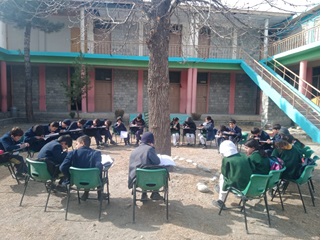
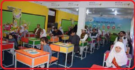
Practical activities are vital in teaching geo-history in classrooms because they transform theory into experience. Teachers can organize field trips to historical sites, museums, or geographical landmarks, allowing students to observe connections firsthand. Additionally, classroom activities like map-drawing competitions or model-building projects spark creativity. Students may also engage in mock archaeological digs, which simulate the process of discovering past civilizations.
Furthermore, role-playing significant events shaped by geography, such as battles or migrations, deepens empathy and understanding. Teachers can also use debates where students defend how geography influenced outcomes, such as the success of ancient empires. Transitionally, collaborative group work strengthens teamwork while enhancing research skills. Journaling after activities allows learners to reflect critically on what they experienced. By making lessons interactive, students feel more motivated to explore and remember details. Ultimately, practical activities bring geo-history in classrooms to life, ensuring that learning is active, meaningful, and lasting.
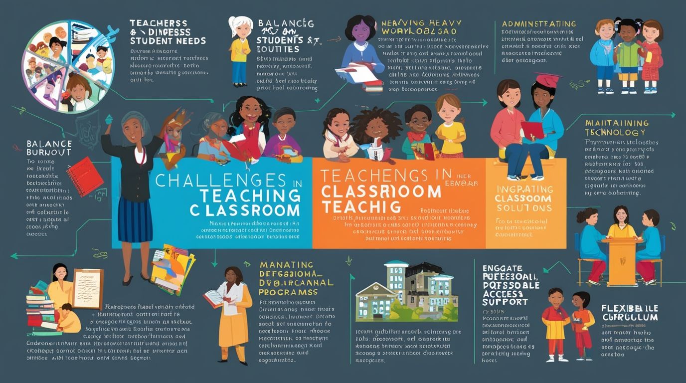
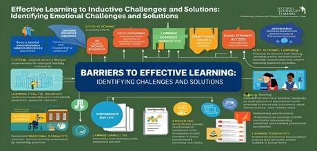
Challenges in Teaching Geo-History and Solutions
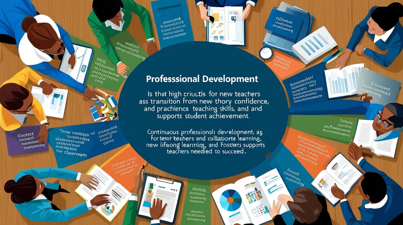
While teaching geo-history in classrooms is rewarding, it also presents challenges. One major difficulty is the lack of resources, such as updated maps or digital tools, which limits teaching effectiveness. Another challenge is students’ perception of history as boring and geography as difficult. Teachers must therefore use creative strategies to spark interest. Additionally, time constraints in curriculum schedules may prevent in-depth exploration of both subjects. To solve these challenges, teachers should integrate storytelling, technology, and practical activities that make learning engaging.
Moreover, professional development workshops can equip educators with modern teaching methods. Collaboration among teachers of history and geography can also result in interdisciplinary lessons. Transitionally, schools should invest in digital platforms and visual aids that support learning. Encouraging project-based assessments rather than rote memorization helps overcome motivational barriers. By addressing these issues with innovation, educators can ensure that geo-history teaching in classrooms becomes both feasible and impactful.
Conclusion:
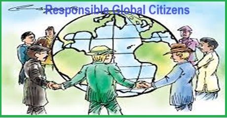
The future of geo-history in education holds great promise as schools increasingly recognize the value of interdisciplinary learning. By combining geography and history, students gain a holistic perspective of human development and the environment. This approach prepares them to analyze global challenges like climate change, migration, and resource conflicts with historical insight. Additionally, advancements in technology will make geo-history even more interactive, accessible, and personalized. Teachers will use simulations, digital maps, and artificial intelligence to make learning highly engaging. Moreover, schools may design curricula that prioritize critical thinking and real-world connections rather than memorization.
Transitionally, global collaboration among educators will expand the sharing of best practices. If challenges such as limited resources are addressed, geo-history can transform classrooms into dynamic spaces of exploration. Ultimately, the continued emphasis on geo-history in education ensures that students develop analytical minds and responsible global citizenship skills.
References
- Bale, J. (2006). Geography in the School Curriculum. Routledge.
- Counsell, C. (2011). History and Literacy in the Classroom. Routledge.
- Roberts, M. (2014). Geography Through Enquiry: Approaches to Teaching and Learning in the Secondary School. Geographical Association.
- Wilschut, A. (2012). History Teaching and Historical Understanding. Information Age Publishing.